 The Railways of Telford |
|
Site contents © Richard Foxcroft 1996-2000
|
The Railways of Telford |
|
Site contents © Richard Foxcroft 1996-2000
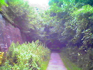
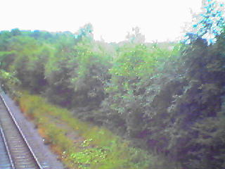
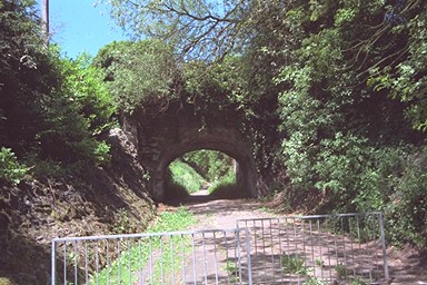
The railway begins at Coalport bridge. The station yard was east of the bridge, Coalport East station to the west. It passes under the recently rebuilt bridge, and immediately begins to climb steadily, bearing right around the contour of the steep-sided valley. It passes under the famous Great Hay Inclined Plane on the canal system (see here), over a section on a high embankment above the road and through a short tunnel before emerging onto Legges Way, a new road built partly along the line. The older road from Coalport to Madeley can be glimpsed through the trees - on site, if not in this photo - whilst the brick retaining wall to the left of the road it typical railway architecture. The prominent metal bridge overhead at this point, carried the Lee Dingle tramway.
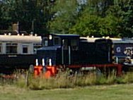
Dave Cromarty points out that "where the entrance to Blists Hill Museum now stands there was a short spur which trailed back into the Blists Hill works. This is the siding on which a couple of wagons now stands at Blists Hill ( and an ex LNWR G2 used to). If I remember correctly the access road into Blists Hill actually cuts through the formation of the spur".
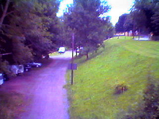
Eventually Legges Way bears right leaving the railway, which continues to the left where two people can be seen walking.
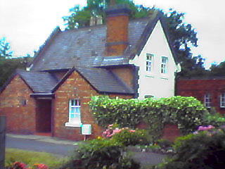
Madeley Market Station still stands, and although the back is heavily barred and apparently disused the front is lived in.
The bridge at the bottom of Madeley High Street was rebuilt - and clearly raised - when the Parkway was built in the '60s. Both bridges feature the concrete charmlessness of the period.
This L&NWR line used to pass over the GWR from Coalbrookdale, but the arch of the bridge is gone. The Silkin Way loops to the east to pass over the bridge at the former Madeley Court Station at Tweedale on the GWR. From the detour, the brick bridge of the L&NWR which carried it over the track from Madeley to Tweedale can be seen; the brickwork on the right-hand edge of the picture is a derelict windmill. And from the bridge, the buttresses of the missing bridge can be seen to the west, and the site of the long-gone to the Madeley Court Station east.
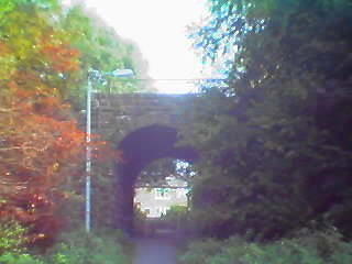
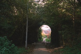
A high embankment, and the bridge at Aqueduct opposite the Britannia pub, carried the line to Chapel Lane. (Here's the bridge from the other side.)
At Chapel Lane, until after 1921, Southall Road came under the aqueduct to a level crossing at the end of Aqueduct Lane. Some time after that, the road was widened and diverted over the brick-and-concrete bridge which still carries it.